
Tock's Island
Or how the Delaware National Recreation Area was born
Or how the Delaware National Recreation Area was born
The 70,000 acre Delaware Water Gap National Recreation Area is located in both New Jersey and Pennsylvania within the bucolic river valley and ridges of the 1,000 foot deep Water Gap where the Delaware River runs through. Flanking both sides of the Delaware River, the park contains numerous waterfalls, miles of hiking trails and is open for boating, fishing, and camping. Delaware Water Gap National Recreation Area however was created in a manner inconsistent with other National Parks. It did not become a national park as a means to set aside the land for the enjoyment and recreation by the general public, but rather as the result of seizure of all land and buildings contained in the earmarked area through the enforcement of eminent domain.
A design for a recreation area and Dam surrounding a 37 mile long lake was first developed in the 1934 prior to the devastating 1955 flood which caused severe damage and 66 deaths. In 1965 the Tock's Island Dam project was proposed to Congress as a means to provide necessary flood control, hydroelectric power and to supply drinking water to both New York and Philadelphia. The area was then acquired for the Army Corp of Engineers through the use of Eminent Domain and at this time the area became the Delaware National Park Recreation Area. This resulted in 3,000 to 5,000 buildings being demolished, and 15,000 people being displaced. Buildings demolished included those already on the historical register or eligible. The area itself is steeped in historical significance with regards to the settling and development of the United States. The area contained some early Dutch settlements dating back as early as 1652. The land includes a portion of the Appalachian Trail, and significant Native American archeological sites. The region itself played a major factor during the French and Indian Wars.
The devastation and deaths caused by the 1955 flood was the impetus for President Lyndon Johnson to sign the Flood Control Act of 1962 and later in 1965 to authorize the construction of the proposed Tock's Island Dam. Once the approval had been secured tax-paying owners of homes and farmlands, some of which held original deeds passed down from generation to generation predating the American Revolution were forcibly evicted after being paid far less for their property than its true value. At least two homeowners committed suicide when landowners were being forced to vacate immediately even though the proposed flooding was not to commence until 1972. Protesters brought national attention as to how this land was acquired and raising questions as to the potential environmental and geological impact on the area. The Delaware River Basin Commission conducted extensive research regarding the benefit to costs ratio as well as further research into alternative options as a response to protests by the Delaware Valley Conservation Association. The Tock's Island Dam project was finally de-authorized in 2002 after years of turmoil and upheaval for the area residents. In truth, this project should never have reached this point since the Army Corp of Engineers had discovered as early as 1942 that there was insufficient bedrock in which to support the proposed dam.
The question that must be asked is, was the means by which this land was acquired and the demolition that followed more or less devastating then the 1955 flood? This thwarted project's lesson should be that the best approach to protecting our future needs to take all aspects of a project's human and environmental impact and utilize the best conservation methods available to protect and preserve our past.
The Delaware Water Gap Recreation area is today enjoyed by the many ranking it the 14th most visited in the United States. It should be vigorously protected from further devastation given it's past, but even now as I traverse the roads through the park, or hike along it's trails I am deeply saddened at the sight of the neglect of the few remaining structures by a government who forcibly acquired them.
Below is but a glimpse of Delaware Water Gap National Park. Keep in mind that all of the images with the exception of the Gap itself are of areas that would have been completely destroyed by the proposed lake.
Debra Fedchin
A google map displaying Tock's Island located in the Delaware River between Pennsylvania and New Jersey

Mt. Minsi and Mt. Tammany form the Delaware Water Gap

Millbrook Village

Dingman's Falls
Barn Door of an abandoned Farm

Silverthread Falls
An empty Hog Barn which is located on the preserved Historic Property of Marie Zimmermann (1879-1972), a remarkable individual, grows up in Brooklyn, takes courses at Pratt Institute, becomes between 1900 and 1940 a nationally-acclaimed and prolific producer of jewelry and metalwork, and then moves to her beloved Pennsylvania property in a last fulfilling phase of a long and dynamic life. The Friends believes Marie is an important American example and that some day Marie Zimmermann Farm on federal property deserves to become a National Historic Landmark.

This is an interior shot within one of the homes that was the victim of the Tocks Island debacle. A favorite of mine that I highly doubt I will revisit since the flooring has become far too spongy indicating it is far too risky to cross. It is a beautiful piece of property that sits along the Delaware. The wall of windows in this room overlooks the Delaware. This battered and abandoned house was once a home and a place that was once someone’s pride and joy.

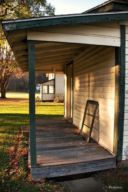
An inviting well worn wicker chair sits on the porch of an abandoned farmhouse that exisits on the Historic Register where the National Park Service had evicted their rental tennents for not properly maintaining the property. It would appear that the National Park Service has done no better

Deer Leap Falls located in George W Child's State Park. This park is currently closed until 2013 to perform repairs due to damage caused by Irene

Factory Falls at George W Childs State Park after the park reopening following a two year clssure to repair the damage caused by Hurricane Irene.
This once proud Greek Revival Farmhouse was originally constructed in 1837. It afforded all those who had the opportunity to sit relaxing on it’s porch a gorgeous view of the surrounding area and across the valley to Bushkill PA. In 1892 an addition was built and it became the Flatbrook Hotel. In the early 1900’s it became the Delaware View House and operated as such until 1926 when it became known as Salamovka and a resort for Russian Emigre’s.
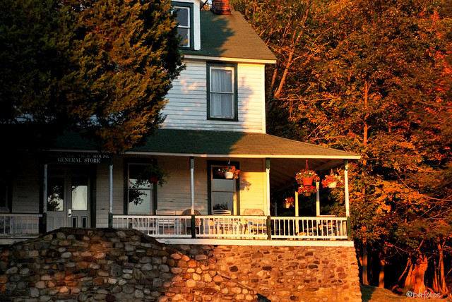
During the period when the government condemned and seized properties in the area as part of the Tock’s Island debacle this structure was one of the few buildings to survive and was being utilized as a General Store at the time this photo was taken in 2008.

Garvey Springs

Salamovka in disrepair as seen in May of 2012.

Mountain Stream as it flows down the mountain near the trail to Sunfish Pond

It's Empty Now
This is an interior shot within one of the homes that was the victim of the Tocks Island debacle. A favorite of mine that I highly doubt I will revisit since the flooring has become far too spongy indicating it is far too risky to cross. It is a beautiful piece of property that sits along the Delaware. The wall of windows in this room overlooks the Delaware. This battered and abandoned house was once a home and a place that was once someone’s pride and
This is an interior shot within one of the homes that was the victim of the Tocks Island debacle. A favorite of mine that I highly doubt I will revisit since the flooring has become far too spongy indicating it is far too risky to cross. It is a beautiful piece of property that sits along the Delaware. The wall of windows in this room overlooks the Delaware. This battered and abandoned house was once a home and a place that was once someone’s pride and

A walk in the Woods

A sign of the times
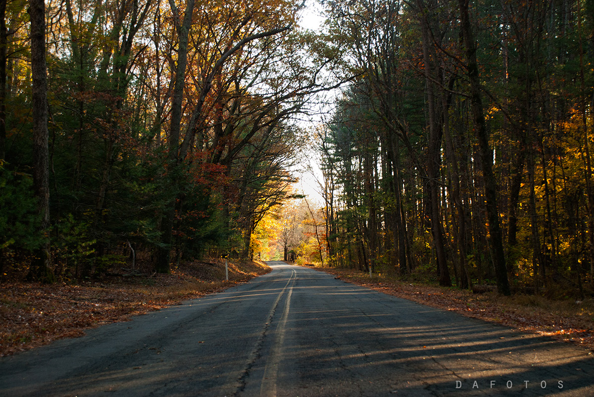
Old Mine Road

An old rusty gas pump in Walpack

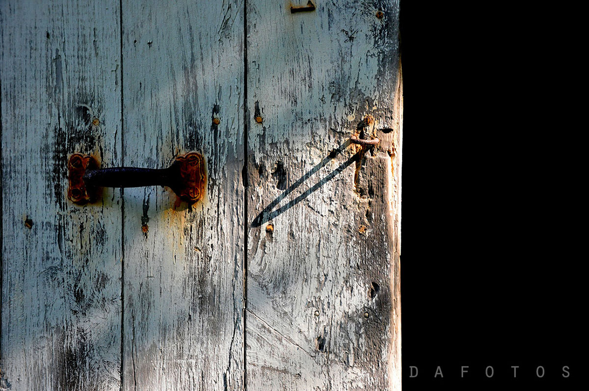
A padlocked barn door of an abandoned farm. This property is but one that had been passed down through generations of a family recorded as one of the original settlers of the area

Zion Evangelical Lutheran Church built in 1851 and closed in 1972 and sits above River Road on the North Side. During the 1970's, when preparation for the Tocks Island Dam project vacated much of the area lands and buildings, according to "Damming the Delaware: the rise and fall of Tocks Island Dam" By Richard C. Albert, the church was taken over by squatters, who grew marijuana in the cemetery. After the Army Corps of Engineers evicted the squatters, in an effort to keep them from returning and in preparation for demolition, the floors, windows and woodwork of the historic church were stripped. Following extensive renovation, in 1993, the building was rededicated by the National Park Service and is now the Office of Preservation and Design of the Delaware Water Gap National Recreation Area.

One of the remaining buildings on Black's Minisink Farm was once part of the "Underground Railroad"

Buttermilk Falls

Buttermilk Falls

Cemetery along Old Mine Road

Walpack

This Red Barn sits on what was one of my favorite properties within the Delaware Water Gap Recreational Area. Unfortunately it seems that while restoring the beautiful farmhouse a fire completely leveled it


Millbrook Village

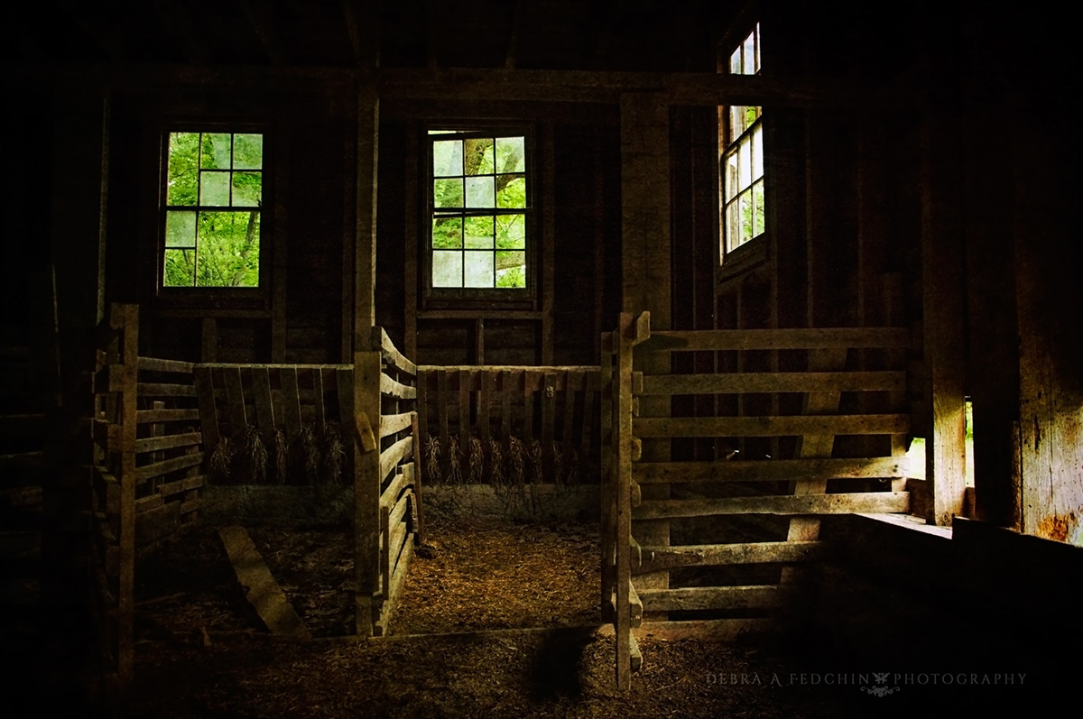
The interior of an abandoned barn

Mother Nature begins her reclamination

The interior of home laid to waste as a result of forced evictions for the Dam project that never came to fruition. The property was once owned by one of the original settling families.


